


|
|
 |
|
|
|
Navigation LakesnWoods.com
Minneapolis Guide: Photo Gallery Location Geography Demographics History Government Post Office News Weather Street Map Events Attractions Recreation Lakes Health Care Schools Churches Media Motels Resorts Campgrounds Businesses Aerial Photo Topographic Map © 2004-2022 DCMA, Defamation, Copyright and Trademark Infingement Policy
|
|
| 1800s | 1900s | 1910s | 1920s | 1930s | 1940s |
| 1950s | 1960s | 1970s | 1980s | 1990s | 2000s |
By Topic:
| Hotels/Motels | Retail | Parks | Maps |
| Hospitals | Industry | Rail | |
| Theaters | Schools | Churches |
By Area:
| Downtown | Northeast | North | Southeast |
| South | U of M | Airport | Fort Snelling |
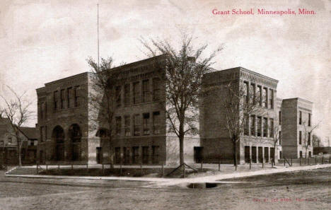 Grant School, 12th and Girard Avenue North, Minneapolis, Minnesota, 1910s LakesnWoods.com Postcard and Postcard Image Collection - click to enlarge |
|
|
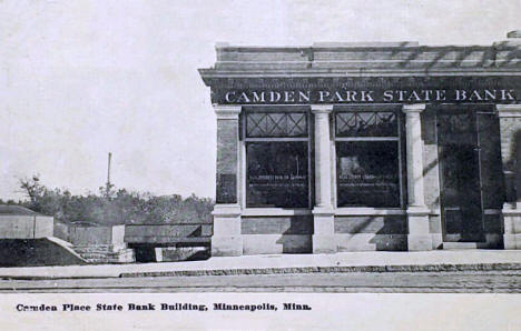 Camden Park State Park, Minneapolis, Minnesota, 1913 LakesnWoods.com Postcard and Postcard Image Collection - click to enlarge |
|
|
|
|
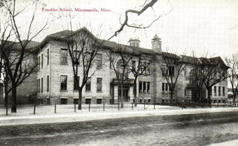 Franklin School, 15th Avenue North and 4th Street North, Minneapolis, Minnesota, 1920s LakesnWoods.com Postcard and Postcard Image Collection - click to enlarge |
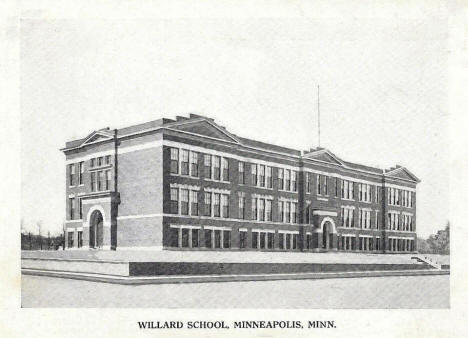 Willard School, 1615 Queen Avenue North, Minneapolis, Minnesota, 1920s LakesnWoods.com Postcard and Postcard Image Collection - click to enlarge |
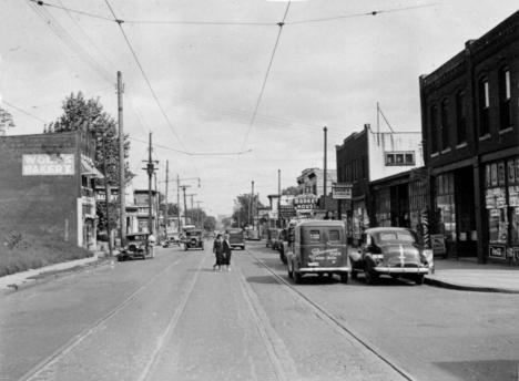 1300 blobk of 6th Avenue North (now Olson Memorial Highway), Minneapolis, Minnesota, 1938 Courtesy Hennepin Country Library - click image to enlarge |
|
|
|
|
|
|
|
|
|
|
|
|
|
|
|
|
|
|
|
|
|||||
|
|
© 2004-2022 Lakeweb1 Internet Services All Rights Reserved |
|
|||
|
| |||||